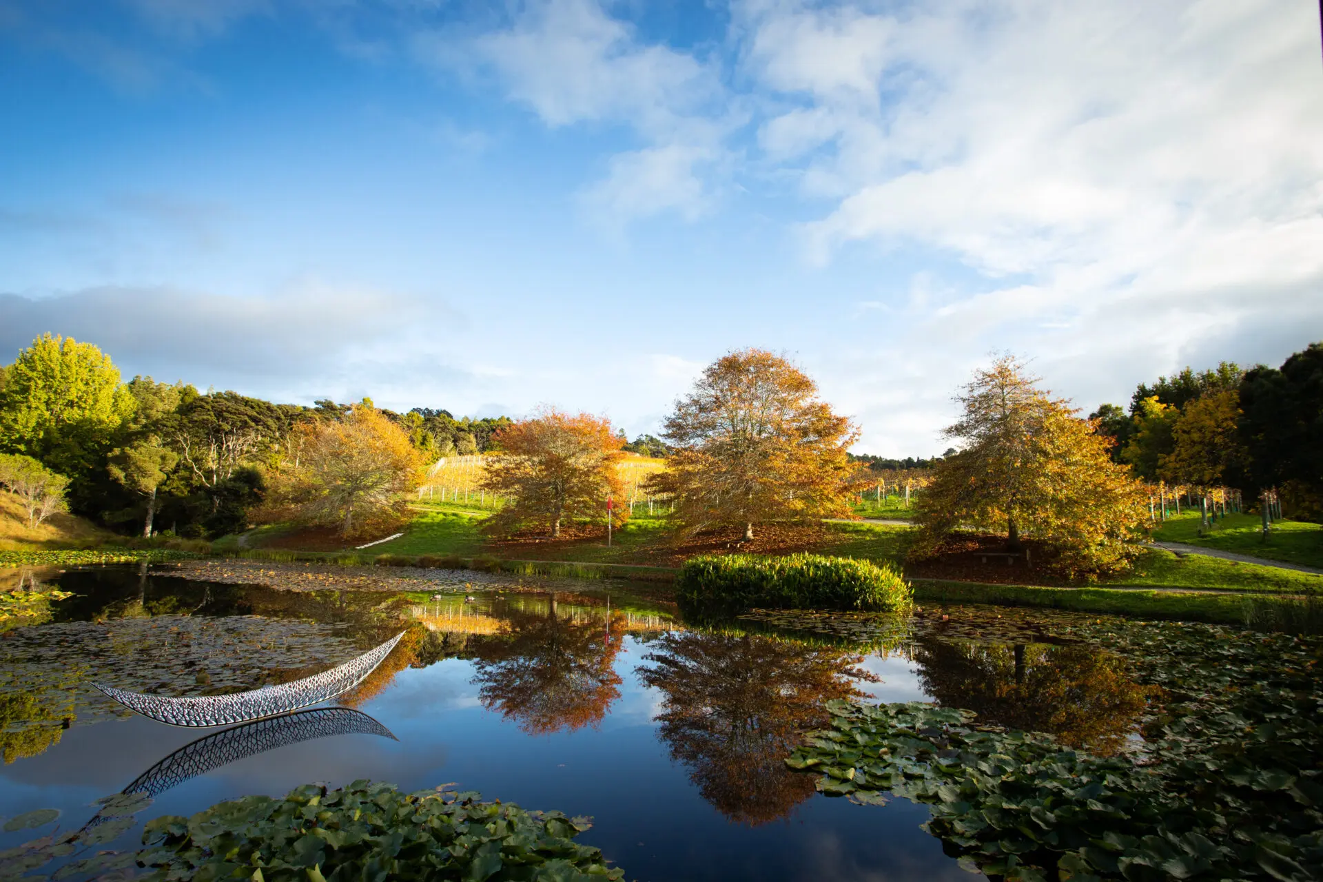
The first beach that we visit is called Karekare (Rough Seas), where we drive down a steep narrow road which can be challenging on a busy day, and arrive at a central carpark. Karekare is the setting for an Academy Award winning film called “The Piano”, filmed in 1992 with Harvey Keitel and Anna Paquin. There is a very pleasant, flat walk to the surf beach which is the reason for the Maori name. Most days the sea lives up to its’ name and swimming is only recommended for experienced ocean swimmers. Instead, you could walk further along the road, a little way up the hill and then to your left to the Karekare Falls, a spectacular water fall that is a photographer’s dream. Approaching it, you walk under a canopy of branches that are wonderful moody photo effects. While walking up to the start of the track, you are overshadowed by dramatic rock faces that hint at the coastal area’s volcanic history. The coast here is actually the eastern edge of a massive extinct volcano. Sand on both these beaches, Karekare and Piha, and Muriwai, further north, is a dull grey colour on the surface and black under the surface, because it contains iron, remnants of the ancient volcanic explosion. The iron content makes the sand very hot to walk on, on sunny days Further south, the black iron sands are dredged off the ocean floor and sent to Japan to go into iron manufacture.

From Karekare, we drive to Piha (Full Blooded… a word that also occurs with the same meaning in Hawaiian), on a road that follows across another sheer cliff face, of the other volcano. There are a couple of pull off points on the way down with great photo opportunities. The beach below you is divided in to two parts, North and South Piha, with the dividing point being an island called Lion Rock, which from it’s side resembles a lion sitting on its’ tail. We will turn left at the bottom of the hill and drive into the carpark out side the South Piha Surf Lifesaving Club, approaching through an avenue of Pohutukawa trees, a coastal tree which only flowers with a bright red blossom in the weeks leading up to Christmas.
If you are wanting a challenging walk/climb, there is a track that goes up the lion’s spine and then across the side of his face and onto the top of his head, but check the notice at the foot, as sometimes bits of the track fall off near the top and are being rebuilt, so the top of the track is closed.

At the south end of the beach, there is a walk that should only be undertaken at low tide or up to half tide either side. Just out about 50 metres from the cliff edge is an island called Nun Rock, although the reason for the name is lost in time, and there is an easy flat walk to The Gap, which is the point where Nun Rock almost meets the mainland. There is a reef there with long growth of kelp, a type of seaweed, where the young, foolish or daring of the local youth will jump off the reef as waves burst over it and swing on the kelp. Inside the reef is the Blue Pool, which is reasonably safe swimming. But beware, the incoming tide covers the whole area later in the day. Part way along Nun Rock is Taitomo Cave. Tomo in Maori means a hole in the rock, and Tai was supposedly the first to use it. The cave goes right through the island and emerges at the back of the local surf break, so is a convenient way to avoid a hard paddle.
There is hot takeout type food at Murray’s, next to the Surf Club, or back on the main beach road, the Piha General Store, or a café called Aryeh, for a nice casual meal.

At the back of Piha is Piha Valley Rd with the most accessible of the local walking tracks at the end of the road. The one to the right leads to the Kitekite Falls, about a 45 minute walk each way, the last 50% with relatively steep uphill sections but a good, well-formed and maintained track. At the foot of the falls is a large natural swimming pool, but no changing facilities, and a few small lower pools, You can return to the road down either side of the stream, with the tracks meeting up before you get back. However, the track on the north side of the stream has a branch track which goes to the top of the Falls, very well-marked, physically a bit more challenging. At the top of the falls are quite spectacular views and a couple of nice deep little pools. At the edge of the pool nearest the water edge, you can see obviously man-made deep wide notches on both sides of the stream. Before this area became a park, the early settlers used to come into the forests to harvest the Kauri, Rimu and Totara trees, hardwoods prized for their height and straightness. To transport them down to the coast, they would cut the notches in the rock and build dams blocking off the upper valley. When the upper valley filled with water, and the felled logs were floating, the dam was dynamited and the logs were carried down the lower valley to the coast. The vegetation both in the lake area of the upper valley and the bottom of the lower valley is regenerated growth.
There is hot takeout type food at Murray’s, next to the Surf Club, or back on the main beach road, the Piha General Store, or a café called Aryeh, for a nice casual meal.
At the back of Piha is Piha Valley Rd with the most accessible of the local walking tracks at the end of the road. The one to the right leads to the Kitekite Falls, about a 45 minute walk each way, the last 50% with relatively steep uphill sections but a good, well-formed and maintained track. At the foot of the falls is a large natural swimming pool, but no changing facilities, and a few small lower pools, You can return to the road down either side of the stream, with the tracks meeting up before you get back. However, the track on the north side of the stream has a branch track which goes to the top of the Falls, very well-marked, physically a bit more challenging. At the top of the falls are quite spectacular views and a couple of nice deep little pools. At the edge of the pool nearest the water edge, you can see obviously man-made deep wide notches on both sides of the stream. Before this area became a park, the early settlers used to come into the forests to harvest the Kauri, Rimu and Totara trees, hardwoods prized for their height and straightness. To transport them down to the coast, they would cut the notches in the rock and build dams blocking off the upper valley. When the upper valley filled with water, and the felled logs were floating, the dam was dynamited and the logs were carried down the lower valley to the coast. The vegetation both in the lake area of the upper valley and the bottom of the lower valley is regenerated growth.
Back at the road there is another track, going to the left, which eventually climbs to meet other tracks, waterfalls and finally other roads. However, for a bit of adventure, where the track crosses the first stream, walk up in the water, where you will reach a series of canyons with fallen rocks that offer an adventurous teenage and fit adult challenge. When you come into a steep sided valley, take a track to the right which will bring you onto a formed track. Go right to take a ridgeline track which takes you back to the Piha Valley, or left to a track that eventually meets the track to the top of the Kitekite Falls. You should do this in the morning to allow plenty of exploring time.